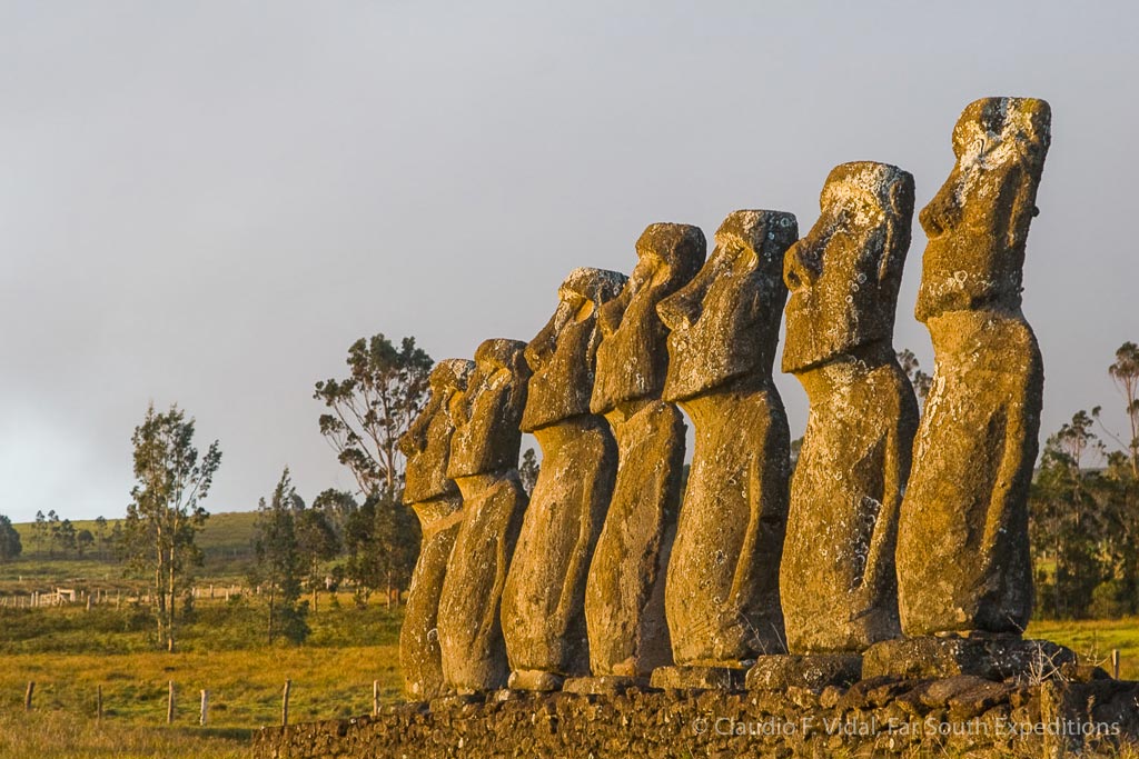
Nearly 2,000 nautical miles of Pacific Ocean separate Rapa Nui from the American continent, thus Easter Island is geographically the most isolated of Chile’s National Parks.
The island, located at 27°09’S and 109°27’W, was discovered on Easter Sunday 1722 by a Dutch fleet led by Jacob Roggeveen, and received its European name because of the very important religious day. Islanders did not seem to have a name for it, but began to call it Rapa Nui in the early 1860’s.
Unlike other protected areas, which are created primarily to protect the endemic flora and fauna, the Rapa Nui National Park was established mainly to protect its archaeological sites.
In order to stop the pilfering of the island by foreign visitors in the early 20th century, a special status of the island was needed. The first step consisted in its declaration as a National Historical Monument and later as a National Park in 1935. At that time the islanders had been confined to the southwestern part of the island in what is now part of its capital, Hanga Roa. Most of the island’s land was used as grazing ground for a foreign sheep-ranch, and scientific expeditions had helped themselves to objects of great archaeological value. A first inventory of important sites and artifacts was prepared by Juan Tepano, local informant to many expeditions to Rapa Nui; this was revised and improved by Father Sebastian Englert (the numbering of the statues can still be seen today), and eventually refined by the University of Chile, which in 1981 published an archaeological atlas containing almost 7,000 archaeological sites, located on approximately 50% of the island’s surface.


