The mythic, diverse Archipelago of Tierra del Fuego, at the end of the world, is a fairly unknown Nature’s jewel. This is due, not least, to its remoteness and very sparse population. However, exactly these never-ending, natural landscapes as well as its stunning geomorphologic and biological diversity made the Big Island of Tierra del Fuego (by far the largest of the Tierra del Fuego Archipelago) become one of my favorite regions in this impressive part of South America. Tierra del Fuego Nature
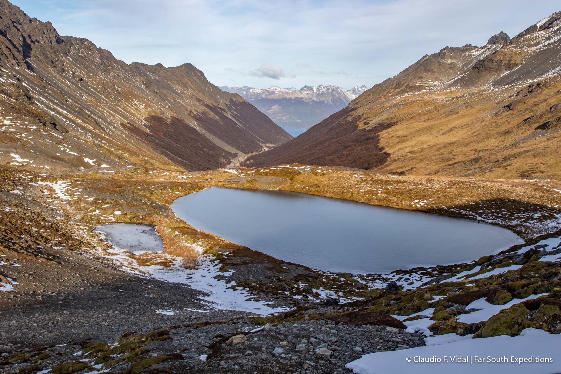
When Magellan sailed through this area 500 years ago on the occasion of his trip around the world, he and his crew didn’t see any settlements on Tierra del Fuego. During the nights, however, bonfires revealed the human presence and eventually gave its name to this cluster of islands.
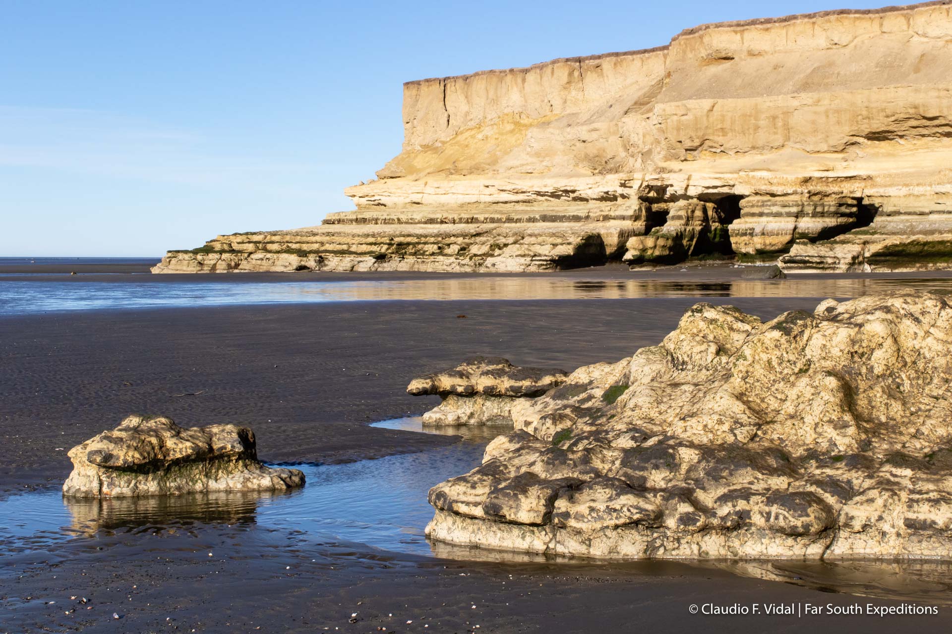
Punta Catalina lies at the very northeastern tip of the Big Island of Tierra del Fuego, where the Straits of Magellan meet the Atlantic Ocean. At low tide, the flat, sandy beach expands far into the sea. On the western shore of this headland is Lomas Bay, a wetland of international importance, particularly as a habitat for waterfowl and waders (Ramsar site). Gratuitous to mention that this is like heaven for all bird lovers. At a short distance to the east from Punta Catalina, a lighthouse with two hoisted flags marks the border between Chile and Argentina. On the very last patch of Chilean territory, just before arriving at the lighthouse, there is an impressive cliff made of soft sediments, dominating the coastline. With the passage of time, wind and water have formed caverns and beaks of rock, leaving behind a spectacular surface morphology.
Drilling platforms in the sea, oil derricks on land, pipelines and the camp of Cullen are clear evidence of the oil industry activities. They might not be very appreciated by a nature lover’s eye. However, it is important to know, that this economic sector is one of the main driving forces of the island’s development.
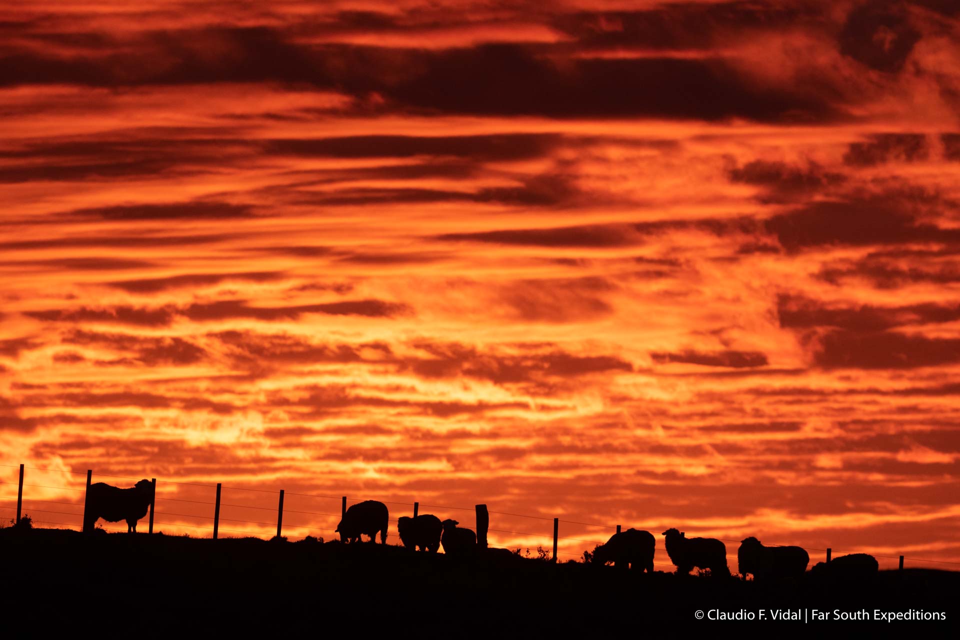
The drive from Punta Catalina to the king penguins’ colony takes about 2.5 hours by car and leads us through the characteristic patagonian steppe. From time to time we pass close to an Estancia (ranch). During the major part of the trip, however, we don’t see any other people nor buildings; we are in the middle of a flat landscape dominated by bushes, copes and lots of different grass plants. There are scattered flocks of sheep. Because of the poor vegetation, they dispose of huge grazing lands, where they are living and pasturing all year round.
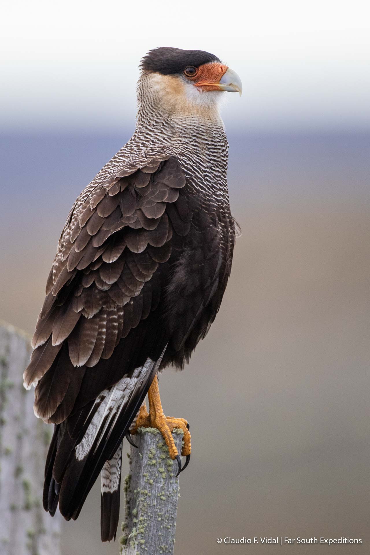
Contrary to the sparse human population, the guanacos (Lama guanicoe) are quite abundant here. There is a stunning difference between the guanacos living on the island and the ones on the continent. The Tierra del Fuego guanacos feature a much darker coloring of their face than their brothers on the other side of the Straits of Magellan do. It is impressive to see them jumping, apparently without any difficulties, over the 1.5 m (5 ft.) high fences, which have been mounted in big parts of the island in order to mark the territorial limits between Estancias and to enclose the livestock. Bird lovers also should be attentive during the journey. Not seldom there can be spotted a Southern Caracara (Caracara plancus) sitting on a fence post or an eagle hovering majestically above the vast fields while looking for food.
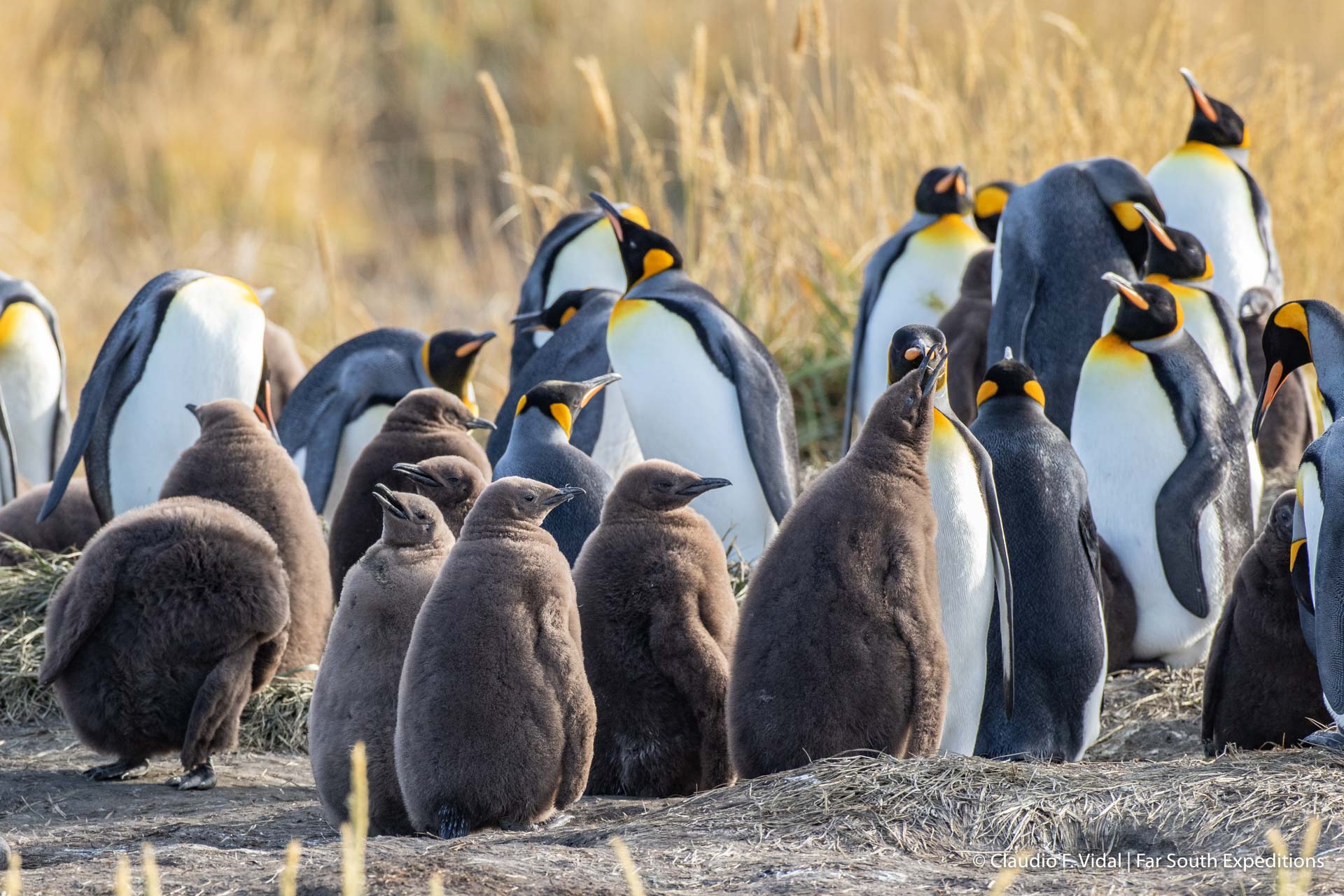
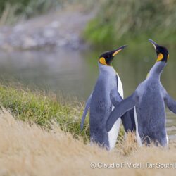
Speaking of birds: In Useless Bay (Bahía Inútil), a huge bay on the western shore of the Big Island of Tierra del Fuego, there is the only known king penguins’ colony in all South America. It was put under protection in 2011 and since then has been run as a private conservation project (King Penguin Nature Reserve). It is also open to interested visitors. In the past century, the penguin population in Useless Bay has multiplied more than tenfold. But the park perimeter offers much more than cute penguins. There are for example interesting archeological sites, which witness of the close co-existence of the native Selk’nam people with the king penguins. Tierra del Fuego nature
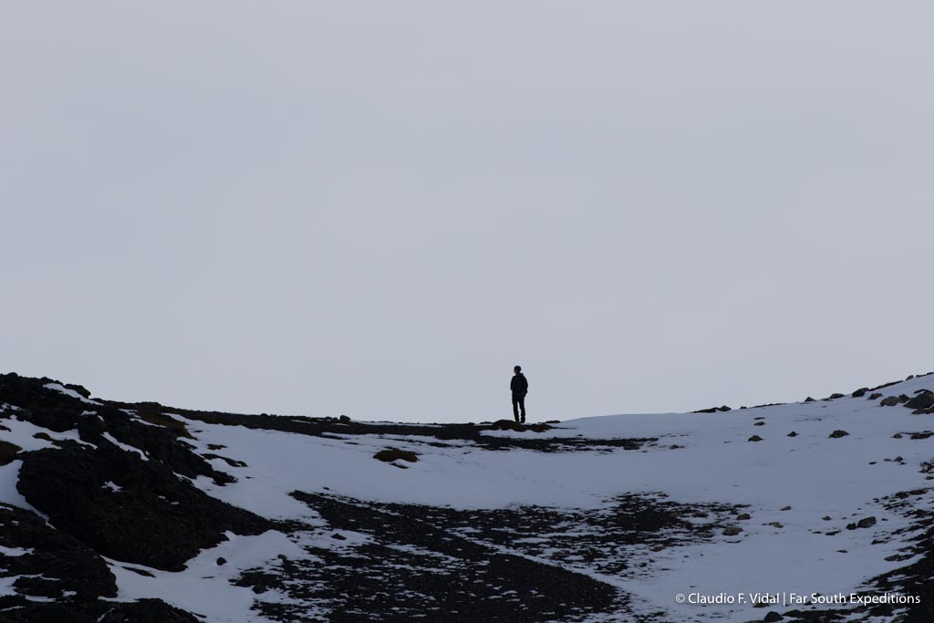
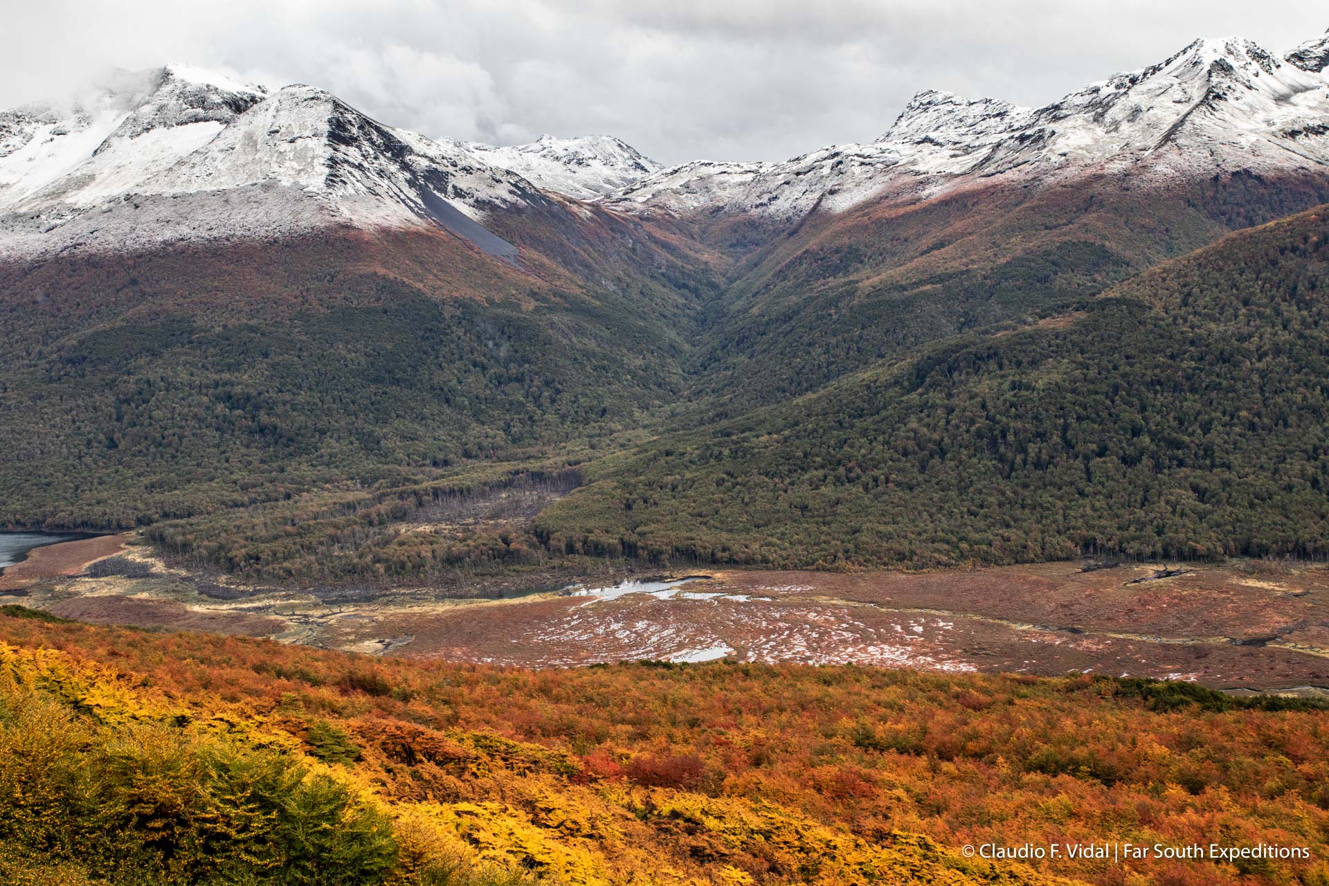
Despite the immense beauty and diversity of the Big Island of Tierra del Fuego and my fascination for it as a whole – my absolute favorite part of it is undoubtedly Karukinka Park. “Our Earth”, as the Selk’nam or Onas called it in their language, is located in the southwestern part of the island and covers some 300.000 ha (1160 mi2). This protected piece of land is confined to the North by the Useless Bay, to the South and West by the Almirantazgo Sound and to the East by the border to Argentina. The landscape is characterized by dense Nothofagus forests, peat bogs and steppes; snow-covered mountains are at a striking distance from lakes, rivers and fjords. It therefore isn’t surprising that there are plenty of different activities the visitors can chose from. I, personally, feel immediately like in another world as soon as I start hiking in the mountains.
This vastness, desertedness and closeness to nature; the imposing panorama, fresh air, varied wildlife and last but not least the fascinating geomorphology cheer up my (geographer’s) heart in a blink. But also amateur fishers, bird lovers, botanists, photographers, mountain-bikers or simply men of pleasure encounter more than enough possibilities to live their passion. Tierra del Fuego nature
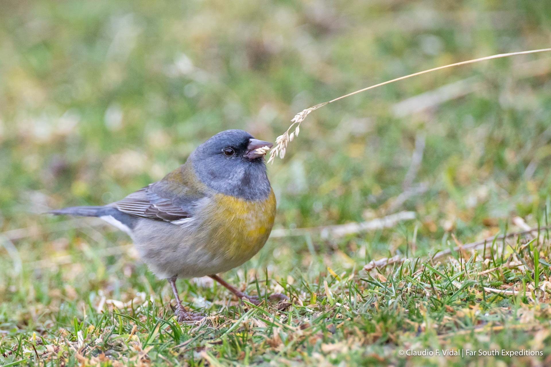
Thanks to the different types of landscape, the fauna and flora of Karukinka Park is extremely varied. The peat bogs, for example, are habitat of a whole series of plants and animals, so specialized that they cannot survive outside of this humid and acid environment. In the mountainous areas of Karukinka, on their part, the plants have developed astonishing strategies in order to defy the cold, dry and very windy climate. The Antarctic beech (Nothofagus antarctica) and Dombey’s beech (Nothofagus dombeyi) are by far the most abundant tree species in the Karukinka forests. Both of them are very characteristic for the forests of southern Patagonia. Despite the protection granted by the fact of being within the park’s perimeter, they have a tenacious enemy which is almost impossible to get rid of. That is to say, around 1950, the North American beaver (Castor canadensis) was brought to the island with a view to its benefits for the fur industry. For lack of natural predators, it has expanded almost at will, leaving the consequential damages on the trees and modified water courses.
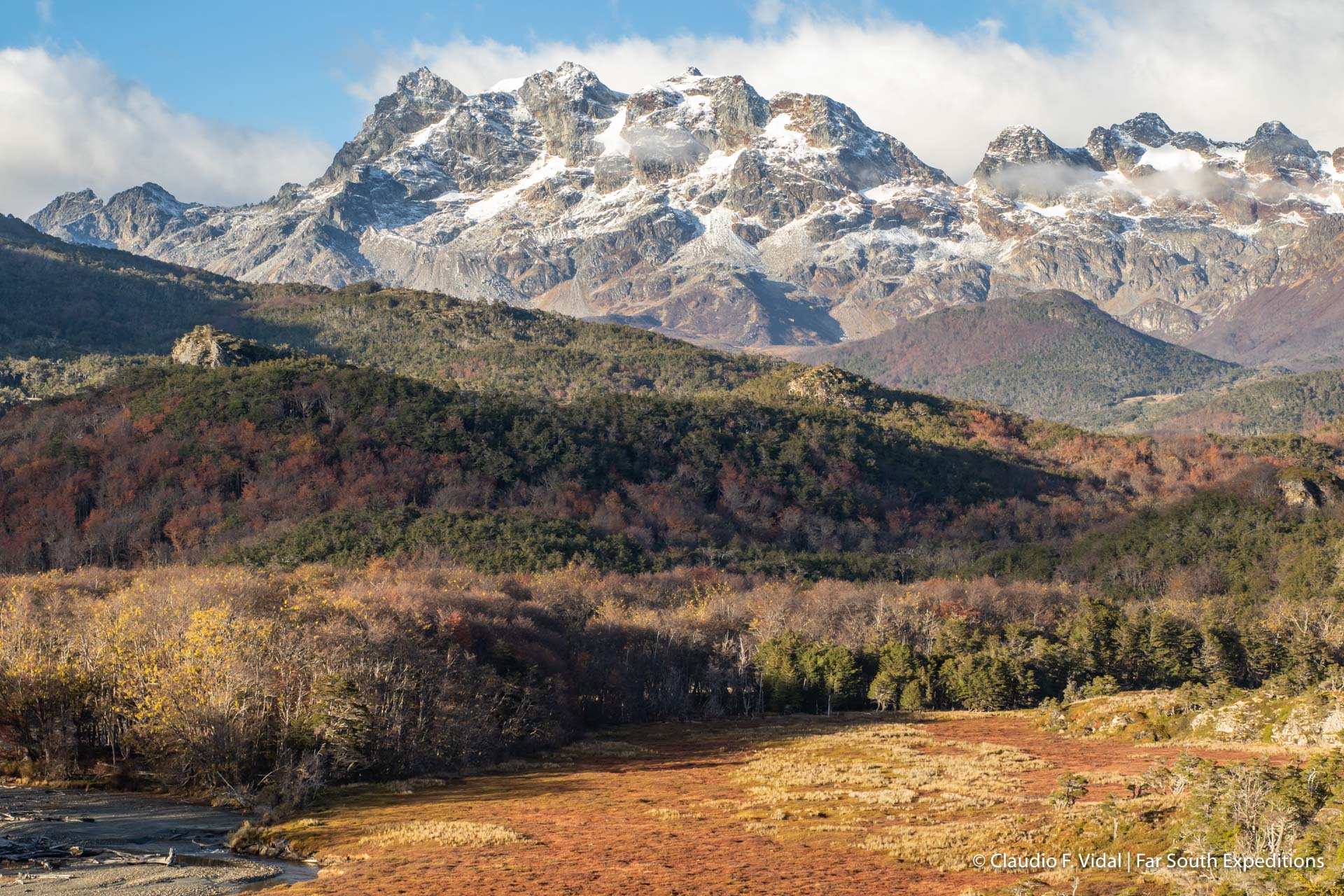
Adjacent to Karukinka, in the South, there is the still quite young Yendegaia Nationalpark. So far it has neither been opened to the public nor is it officially accessible. It therefore is still wild and largely untouched by mankind. With the completion and official opening of the Yendegaia Street, however, this will change soon and drastically. This street, which is still under construction, traverses the national park and aims to connect the Beagle Channel overland, what finally also moves closer to the mainland the small city of Puerto Williams.
In view of this development and considering the uniqueness and beauty of the area, it seems to me of eminent importance to guarantee a diligent and sustainable use of this pristine piece of land. We are only guests in that area and therefore may not leave any trace. This is the only way to enable also future generations to enjoy the magic of Karukinka Park and Yendegaia Nationalpark with all their animals, plants and landscapes and to get inspired by them. And only this way Mother Nature may assume its role as a basis for our own existence and for the continuity of life on our planet.




Leave a Reply
Your email is safe with us.